Project · Gulf of Orosei
Map the Gulf
The umbrella cartography programme for the whole gulf, with results.
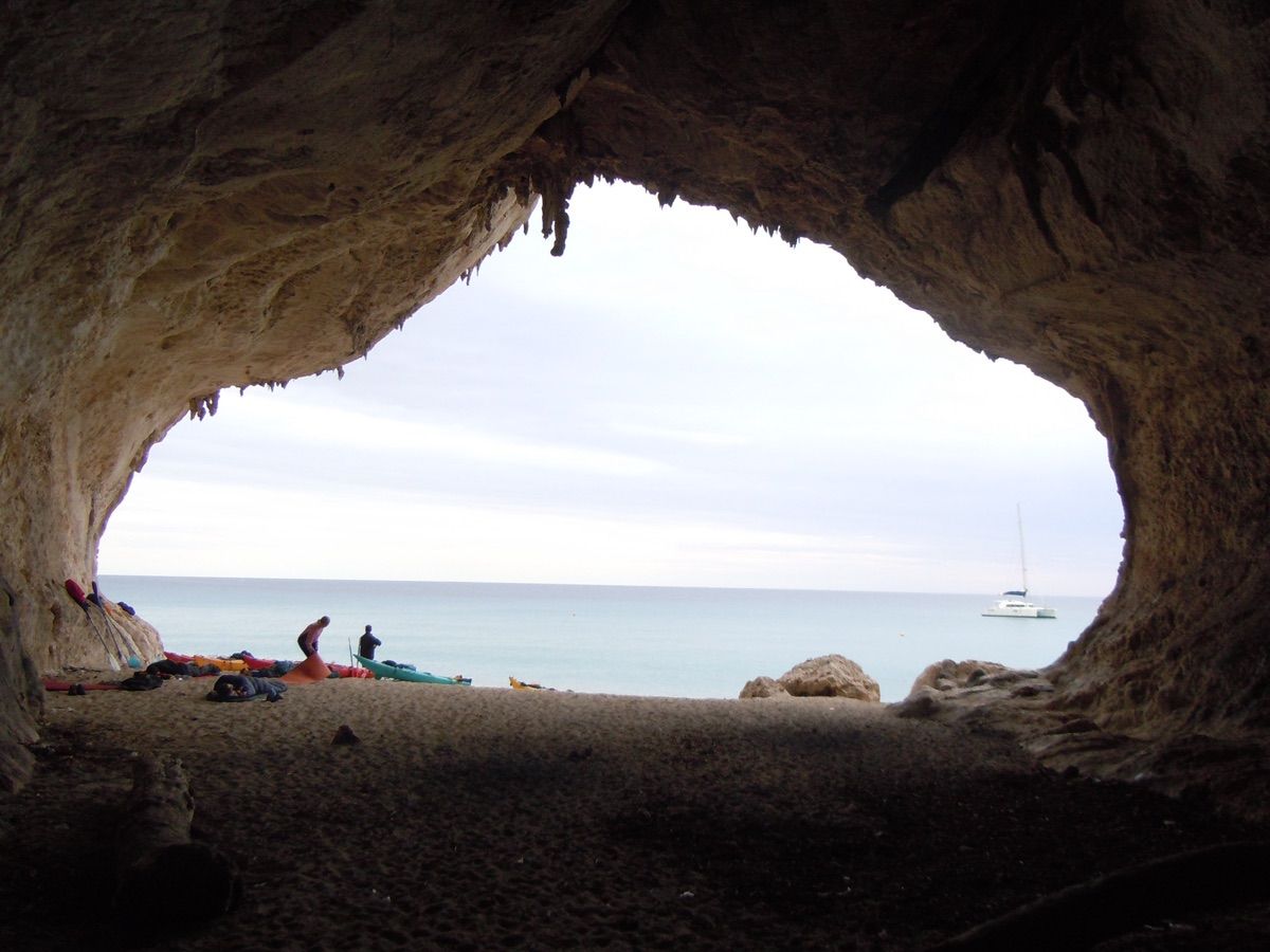
Project · Gulf of Orosei
The umbrella cartography programme for the whole gulf, with results.
Where are the caves, springs and sea caves of the Gulf of Orosei, and how are they linked?
Next session dates, skills needed and how to apply.
See the project calendar →